
UAS Unmanned Systems Consulting, together with the University of the Philippines – Department of Geodetic Engineering, RC Tollo Surveying Services and RADAR. Demonstrated the capability of UAV’s for aerial photogrammetry for GsE 188 – Modern Photogrammetry.

The UAV/drone demonstration was approved by the UP (Diliman) Office of the Vice Chancellor for Community Affairs (OVCCA).
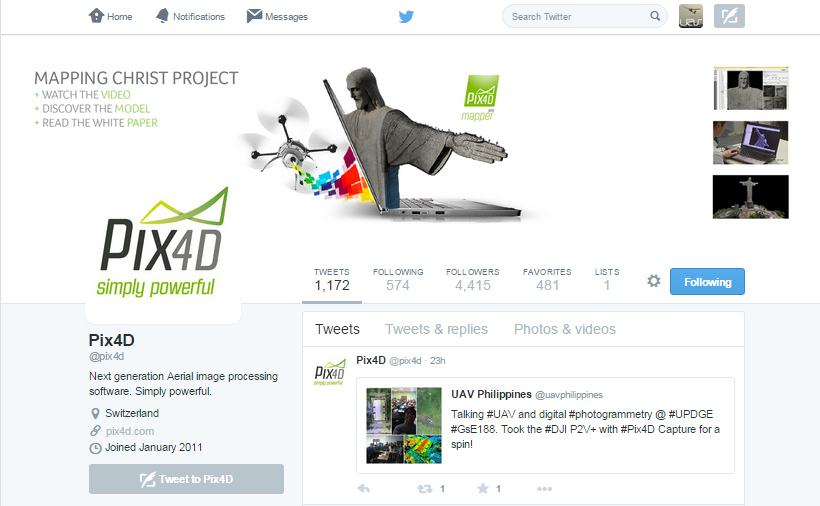
The demo dataset collected was processed by Pix4D which is a UAV, Ground, and Aerial image photogrammetry software. Which converts automatically images into map, point cloud, orthomosaic, DSM, 3D mesh, NDVI. And our “tweet” was even posted.
Many thanks to Ariel C. Blanco, Dr. Eng. – Assoc. Professor and Chairman, Department of Geodetic Engineering (DGE) – College of Engineering, University of the Philippines. For the opportunity!
UAS Unmanned Systems Consulting specializes in UAV / drone development, integration, drone training and maintenance services.